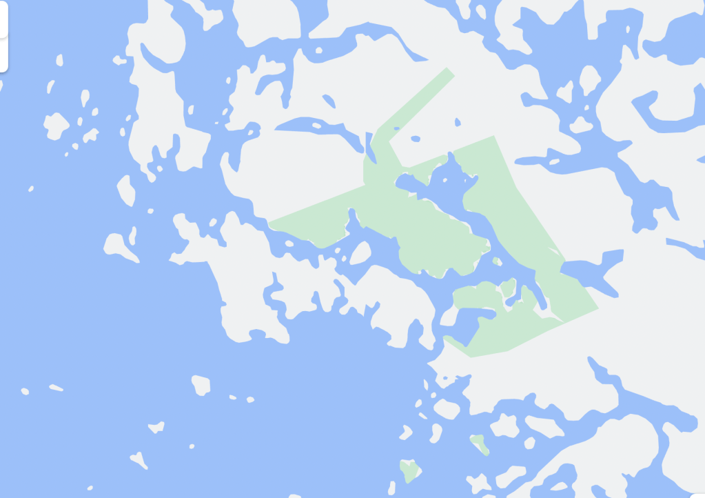
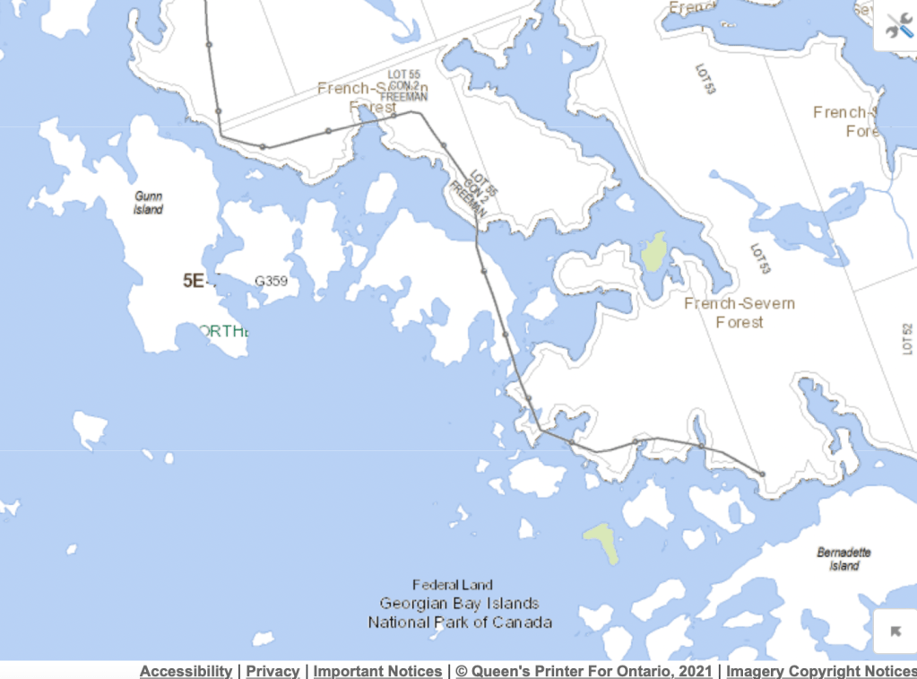
While noodling around in Maps on a new Mac Air, I was puzzled to find a fairly substantial lump of park identified east of Gunn Island and north of Bernadette Island, with no explanatory label. There are two small island holdings of Georgian Bay Islands National Park in that area, as can be seen by the small blotches of green on the Ontario Crown Land Use Policy Atlas, but nothing there that aligns with what was on the Apple system’s map.
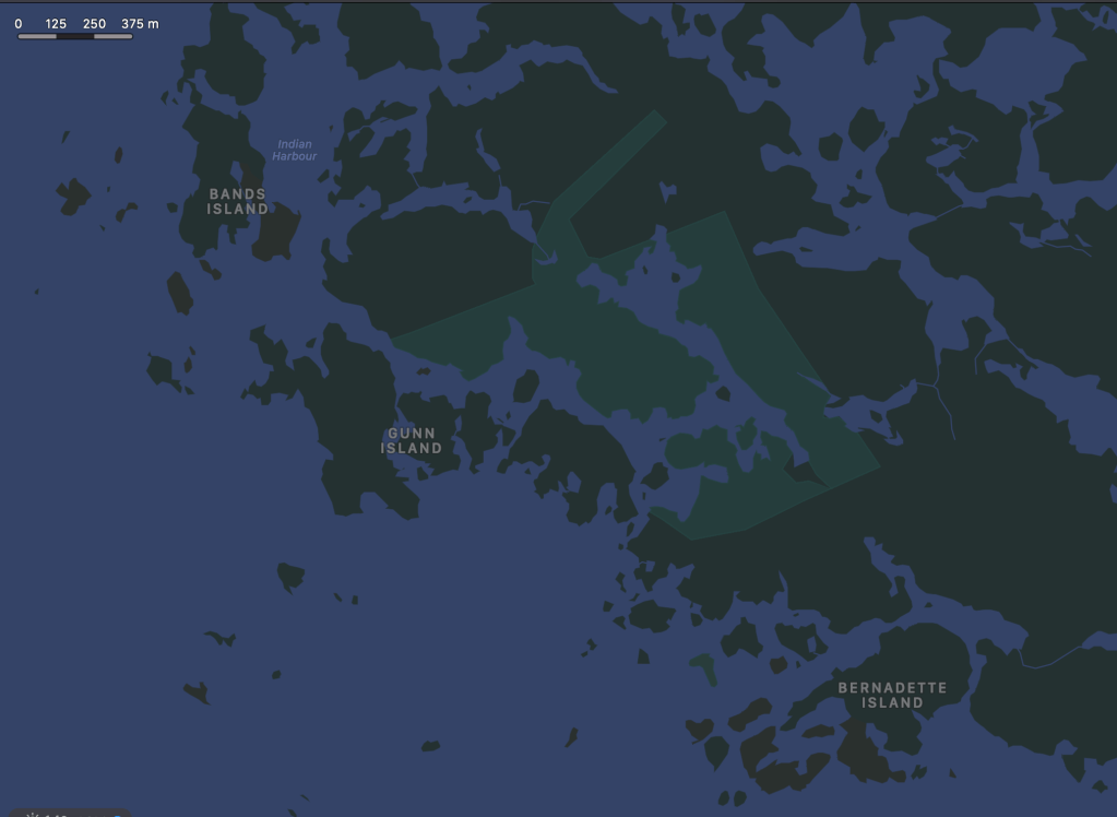
I was going to write it off to a bad day at Apple when I found the exact same unlabeled park area in Google Maps. Presumably these two software giants aren’t sharing data, and there must be an ur-source for both. Now I need to find out.
UPDATE: It’s an addition to Georgian Bay islands National Park. See my more recent blog post.